| offer status | w przygotowaniu |
| price | 70000000.00 PLN |
| bond | 700000.00 PLN |
| tender | pending |
| location | Mazurskie |
| street | Pstrowskiego/Szymborskiej |
| post code | 10-601 |
| property type | plot |
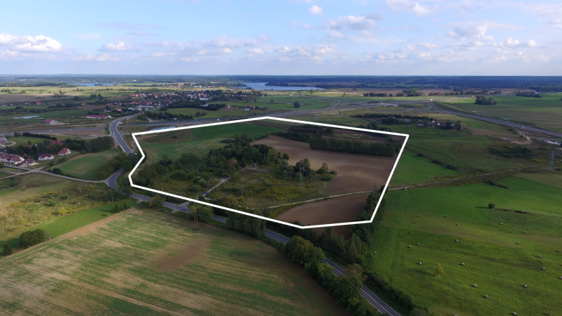
| area | 22.8669 ha |
| plot number | 46/2 (f), 45, 36 (f), 46/1, 47/1, 50, 51/1, 54/2, 48/2, 49/1 |
| geodetic districts | 133 |
| mortgage register | OL1O/00014965/6; OL1O/00139522/1; OL1O/00070834/9 |
| MSIPMO | See details |
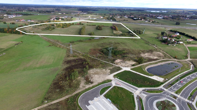
The premises encompass nearly 23 ha and are located in close proximity of the Olsztyn-Pieczewo traffic junction. It is designated primarily for services-related development, including logistics services.
The area consists of plots belonging to various owners, i.e. Olsztyn Municipality, Warmia and Mazury Special Economic Zone, state treasury, private owners. The given price applies to plots owned by the Olsztyn Municipality and the W-MSEZ.
The premises are covered by a zoning plan for the area located between ul. Pstrowskiego, southern city boundary and limited to the west by forest boundary. Future development should bear in mind the obligation to design and develop access road from the side of ul. Szymborskiej and southern city bypass road.
Min. and max. built-up intensity indicator: 0.4-2.5
Max. build-up surface area indicator: 50% of building plot area
Min. biologically active surface area indicator:30% of building plot area
Max. building height: 15 m, up to 4-storey above ground, permissible increased height (up to 20 m) on max. 20% of build-up surface area
Min. plot area designated for services-related development: 5000 sqm
Obligation to design and develop access road from the side of ul. Szymborskiej and southern city bypass road.
| technology park | Nie |
| the shape of the site | polygon |
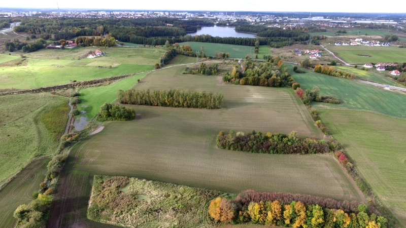
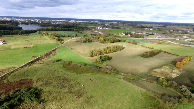
| current land use | fallow |
| max. area available | 22.8669 ha |
| valid zoning plan | yes |
| owner type | multiple owners |
| soil and underground water pollution | Nie |
| underground water level | unknown |
| SEZ | Yes/No |
| access road | obligation to design and develop access road from the side of ul. Szymborskiej and southern city bypass road |
| differences in land level | 10 m |
| possibility for expansion | None |
| zoning |
primary land designation: services-related development, including logistics services |
| owner | Olsztyn Municipality, W-MSEZ, state treasury, private owners |
| obstacles and ecological restrictions |
Yes: underground sanitary collector, 2 open ditch sewage discharges |
| risk of flooding or land slide | no |
| building type present | mieszkalny |
| usable area | 120 m2 |
| height | 8 m |
| year of construction | 1937 |
| number of storeys | 1 |
| building type present | transportu i łączności |
| usable area | 34 m2 |
| height | 5 m |
| year of construction | 1979 |
| number of storeys | 1 |
| distance to motorway |
150 km |
| distance to national road |
DK 16: 3,5 km. |
| distance to railway station |
Olsztyn Główny: 10 km |
| distance to airport |
Olsztyn-Mazury: 59 km |
| distance to water main |
DN 110: 100 m N |
| distance to power main |
0.4 kV low-voltage network: on plot 15 kV medium-voltage network: on plot 110 and 220 kV high-voltage network: on plot |
| distance to gas main |
PE DN 125 medium-pressure gas line: 50 m NW |
| distance to sewer main |
rainwater sewage: 2 open ditch discharges sanitary sewage: DN 500 underground sanitary collector: on the plot |
| name, surname | Krzysztof Otoliński, Head of the Office |
| department | Olsztyn City Hall, Promotion and Tourism Office |
| Work phone | +48 89 527 31 11, ext. 394 |
| otolinski.krzysztof@olsztyn.eu |
| Added: | 28 November 2019 |
| Updated: | 29 September 2020 |
")
")